Ancient Elina – Dymokastro
Erēmokastro, Elinokastro or Elimokastro, D(ē)ymokastro are modern place-names assigned to the coastal fortified settlement founded during the second half of the 4th century BC. The site occupies an oblong hill to the south of Karavostasi Bay near Perdika, Thesprotia. The existing ruins have been tentatively identified by Nicholas Hammond and Sotiris Dakaris with ancient Elina, the seat of the Thesprotian tribe of Elinoi. The Elinoi inhabited, roughly, the area delimited by present-day Margariti, Plataria and Perdika.
Dymokastro is located at about 38 km to the south of Igoumenitsa. Visitors can follow either the Egnatia Highway or the road from Igoumenitsa to Preveza as far as the village of Karteri and there turn right towards Perdika village. Then they can drive through Perdika towards Karavostasi Beach. The site is on the hill above the southern end of the beach.
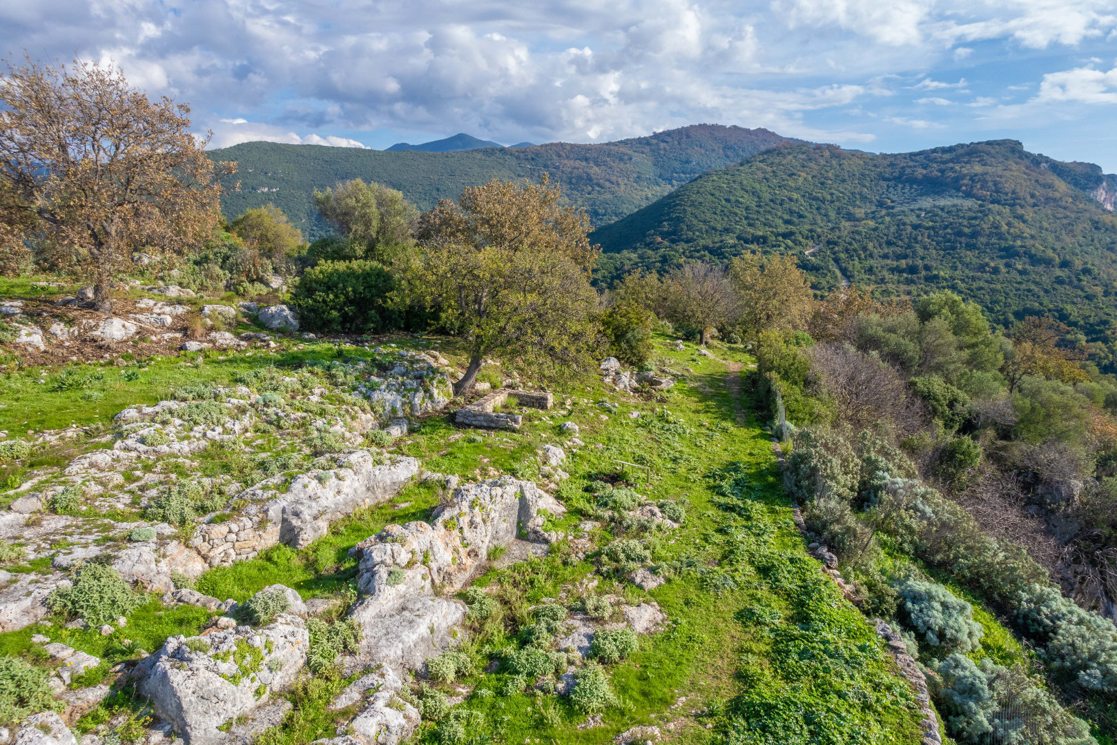
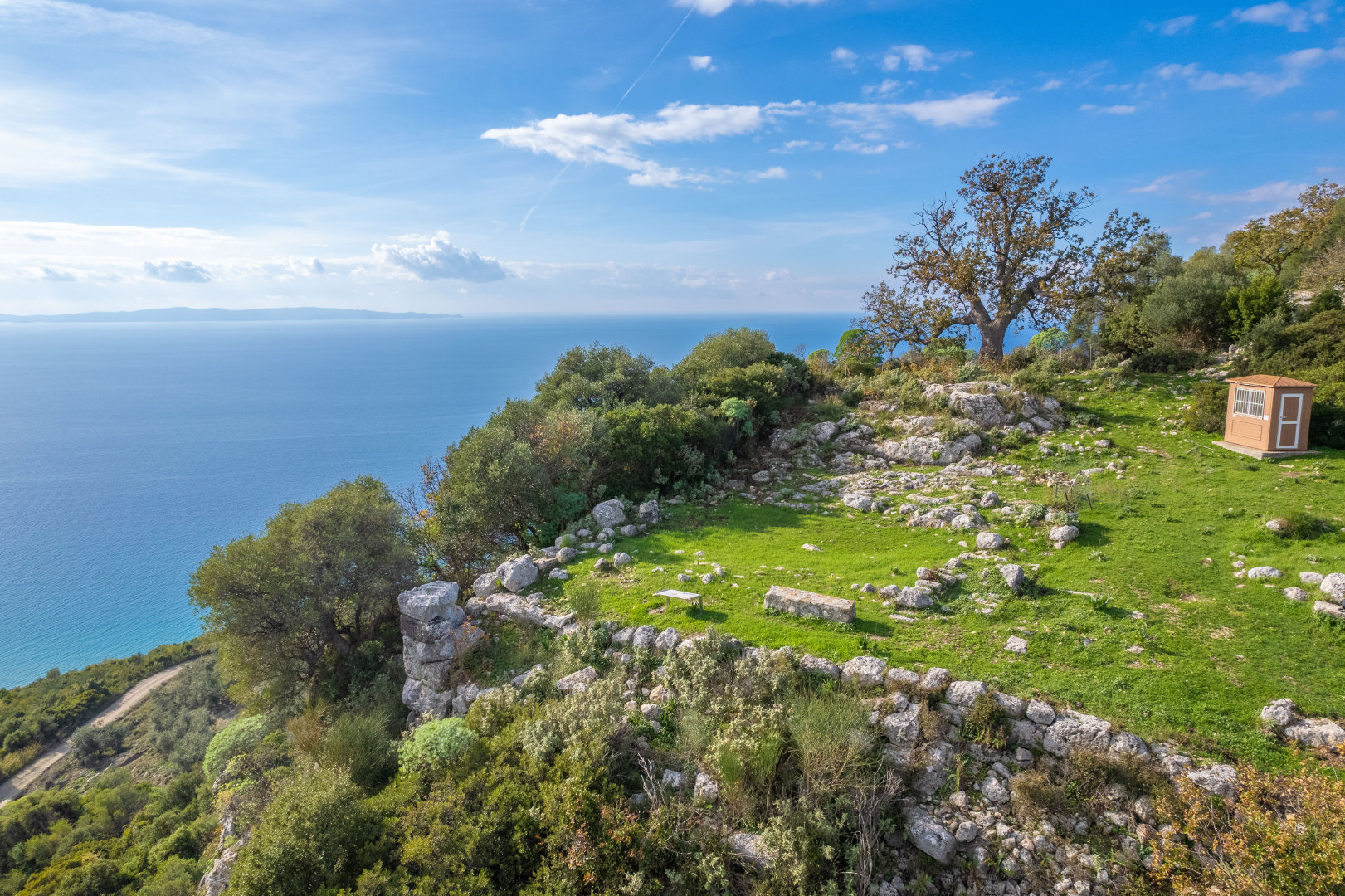
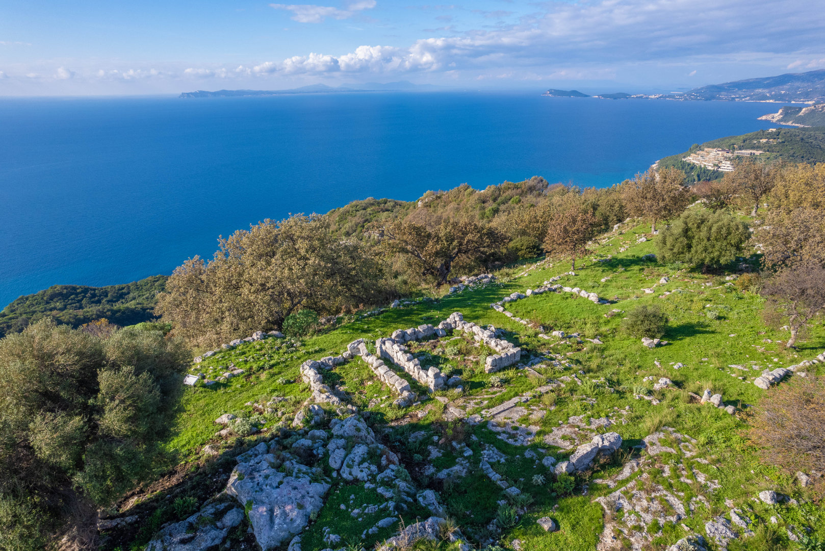
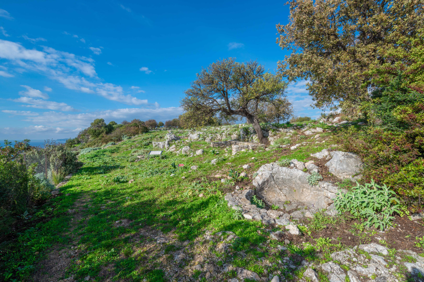
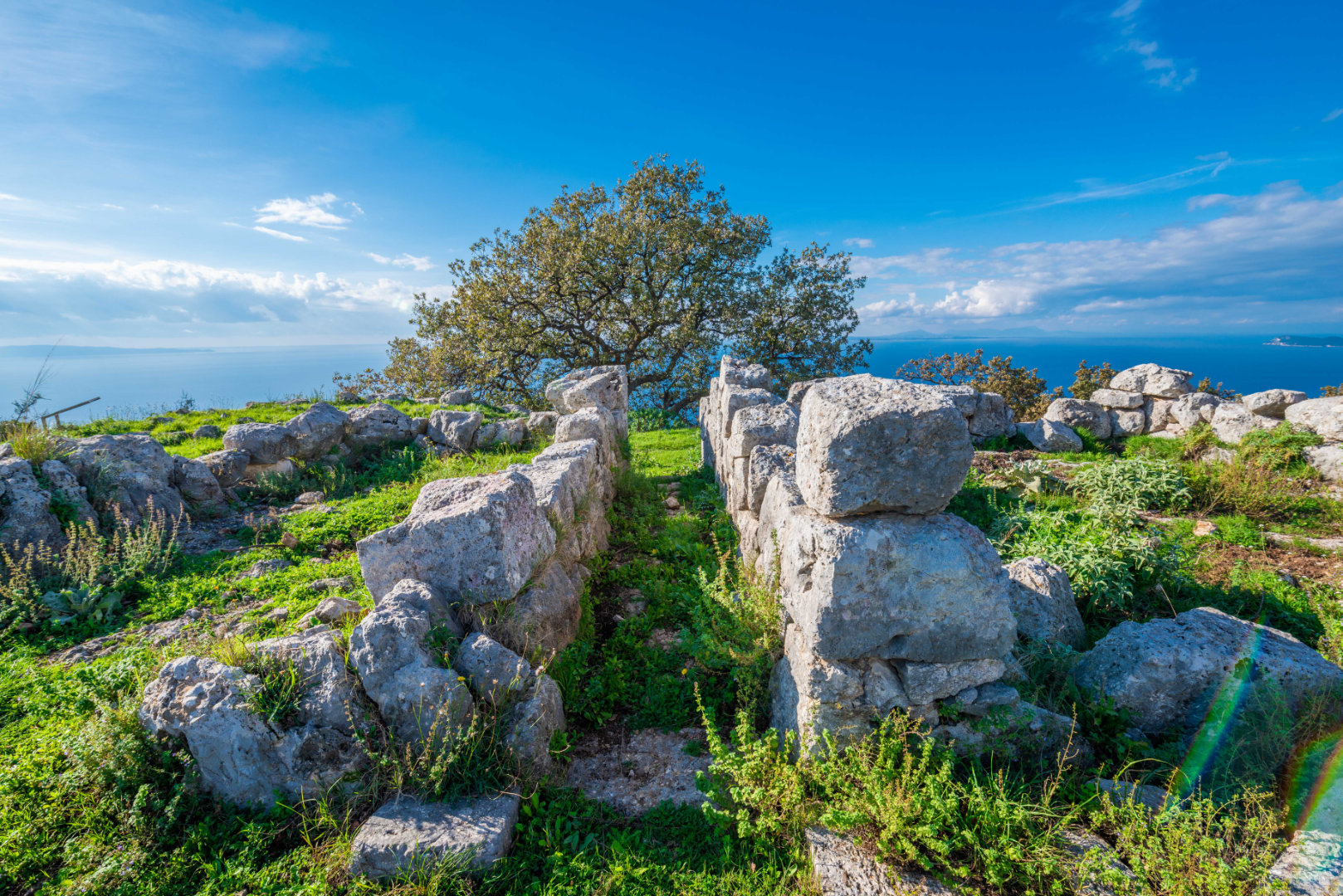
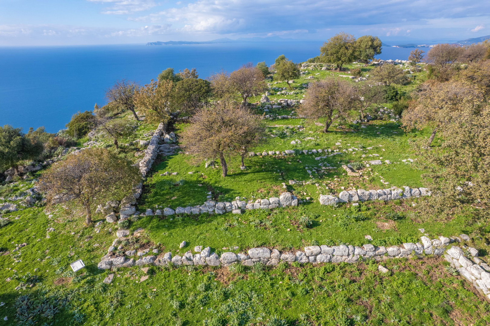
Dymokastro, covering an area of 22 hectares, is divided in three sectors, built on consecutive plateaus along the hill and enclosed within successive fortification circuits. During the time of its foundation habitation was restricted on the smooth and leveled eastern part of the hill, where the -conventionally called- “citadels” A and B are situated. In Hellenistic times, the fortification was expanded in order to include the western sector (“citadel” C), where the wall descended to the coast, protecting thus the ancient port.
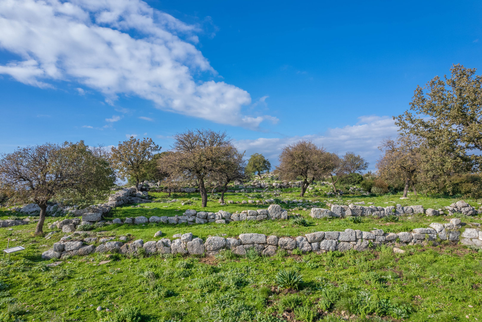
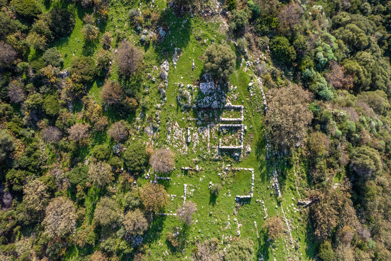
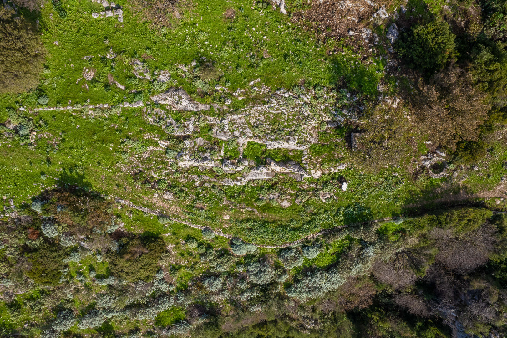
Rather than being organized along the lines of a rigid urban plan, the layout of the settlement follows the natural configuration. The settlement’s main thoroughfare ran parallel to the fortification circuit. Street segments, discovered between neighboring buildings, are actually communication corridors terminating in dead ends.
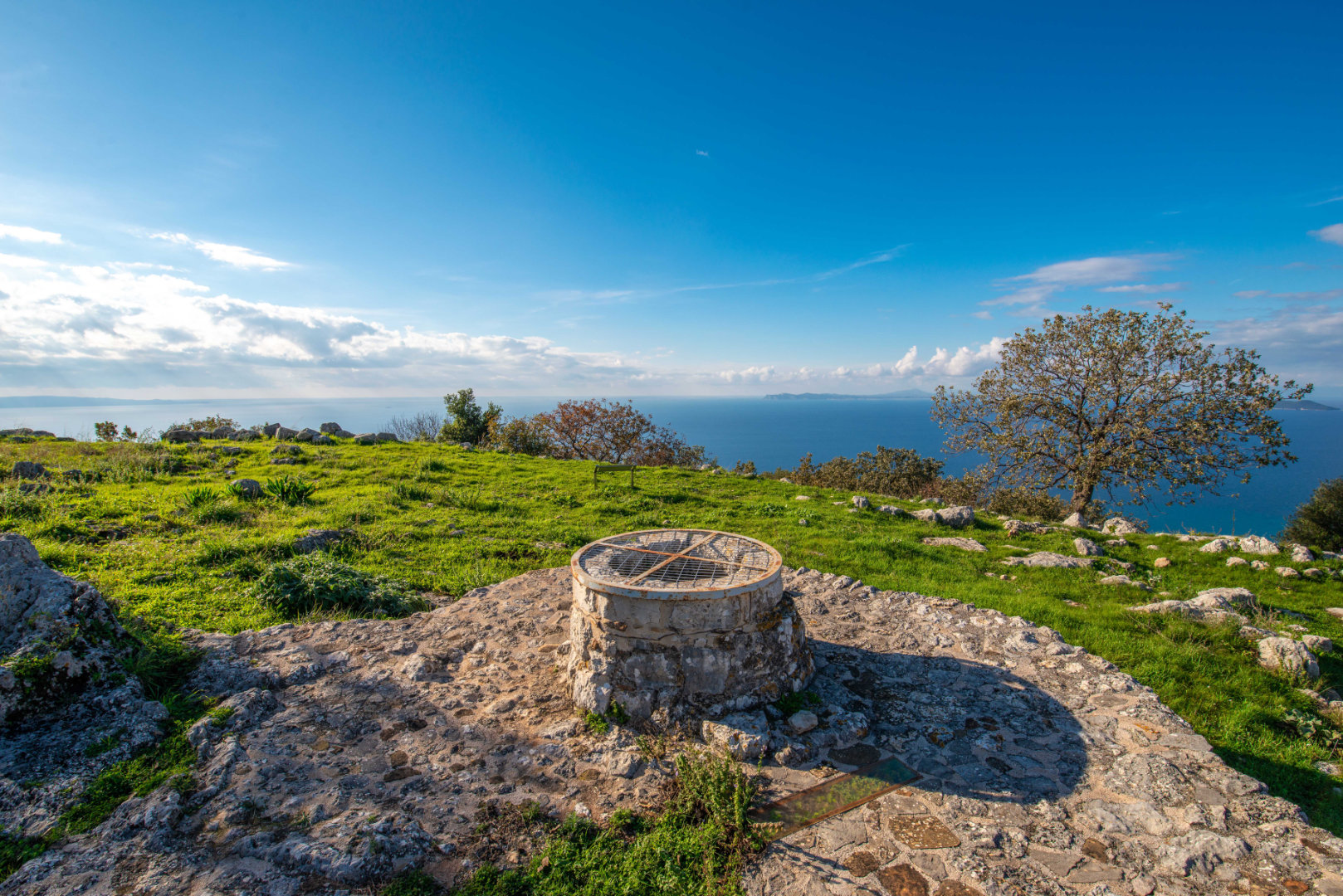
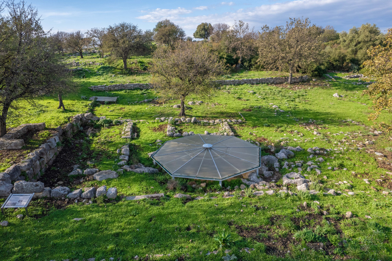
The positioning of the buildings does not follow a uniform pattern, while the buildings themselves -mainly private houses- are quite distinct from each other in terms of their ground plan, size and structural details. Apart from individual houses with rectangular or trapezoidal ground plans, more elaborate building complexes are encountered, comprising numerous irregularly arranged rooms. A remarkable feature of the site is the presence of three rock-hewn round cisterns for the collection and storage of rainwater.
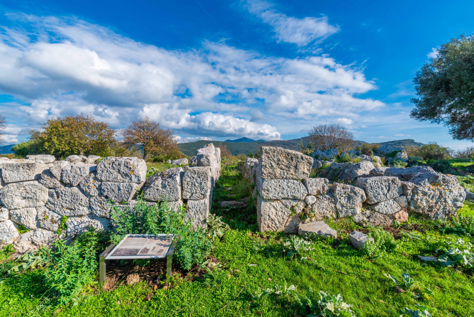
No specific area demarcated as a commercial or civic Agora has been traced at Dymokastro. Nonetheless, during recent investigation buildings of public character have been unearthed in various parts of the site. A stoic building, located at the northern and western end of “citadel” A, housed the commercial activities of the settlement’s inhabitants. Close by, a complex of two rectangular buildings of fine masonry was investigated. From its interior came fragments of pediment sculpture and clay objects associated with cult activities. A second excavated shrine is located at the western end of “citadel” B. It consists of a main rectangular building, divided into three internal spaces and other auxiliary rooms.
Outside the fortification walls, on the foothill of the site, a burial mound is located, which forms part of the settlement’s ancient cemetery. The settlement flourished during the Hellenistic Period until its devastation by the Romans in 167 BC. However, contrary to other Thesprotian fortified sites, habitation at Dymokastro continued well into the 1st century AD. This was probably due to its key coastal position, securing control over maritime routes along the Ionian Sea.